
Map a Cypress Street Directory
Start the Cypress street directory with geography. Preserve the Cypress address as supplied, then make a second note for the standardized USPS form. Check the Cypress county parcel map before searching names. A Cypress corner lot may carry its number on the cross street. A Cypress condominium may have a master parcel, several APNs, and unit-level postal details. A vacant or common-area Cypress parcel still belongs in a street study because skipping it can shift every later number.
The goal is to identify the Cypress physical parcel first. The Cypress county GIS map gives a location and boundary clue. The Cypress Assessor supplies a value snapshot after the eight-digit APN is known. Cypress RecorderWorks then searches recorded parties, and Cypress permits can add a dated project clue. These records can show who owned, filed, or acted in relation to a Cypress place. They do not create a list of every person who lived there.
- Normalize the Cypress address and note the Cypress unit, directional, suffix, and old subdivision variants.
- Open the OC Public Works parcel viewer and select the matching lot.
- Copy the eight-digit Cypress APN and check the Assessor value form.
- Use the identified parcel or party to locate instruments in RecorderWorks.
- Compare the deed date with permits, a directory edition, or another record that answers the same question.
Keep the original Cypress map label beside the normalized address so the street sequence can be checked again.
Cypress APN Address Records
The official Cypress Orange County Secured Property Value Information page is narrow by design. Its visible search field is labeled “APN (8 numeric digits),” followed by Submit. It does not accept an owner name and suppresses the owner name in the result. A Cypress address must be translated into that Cypress APN through mapping or another permitted county route before the form can help.
| Field | Detail |
|---|---|
| APN | Eight numeric digits in one text field |
| Action | Submit the APN |
| Result | Assessed land, improvement, total value, exemption amount where shown, and roll date |
| Owner search | Not available on the public form; owner name omitted by law |
| Current counter route | Public Service Counter, 500 S. Main Street, 2nd Floor, Orange, weekdays 8:00 to 5:00 |
The Cypress online roll was reflected as of January 1, 2026 when inspected. Later value or exemption changes may not appear. A Cypress APN ties the record to land, not to a resident. That distinction is central to any Cypress street directory search.
The Orange County Assessor property and parcel map route image captures the Cypress county route used before the APN value lookup.
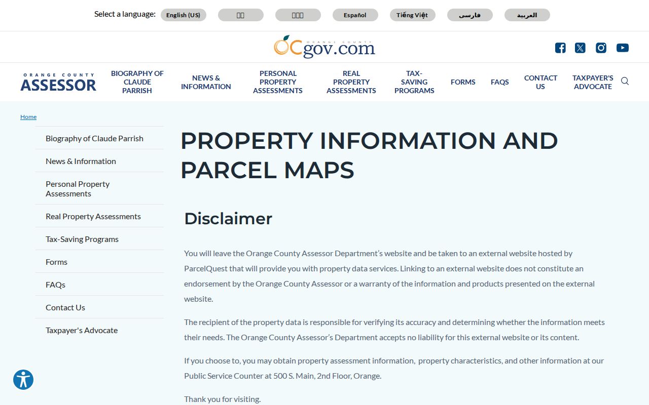
Use the form to anchor value evidence, then move to the recorder or city custodian for the next record question.
Cypress Situs Address Records
A Cypress situs address names the physical property. A Cypress mailing address tells an office where a notice or tax bill should go. The two can differ. A different mailing address may suggest that the owner is not at the property, but it is not conclusive proof of non-occupancy. Do not convert a correspondence field into a statement about who sleeps at a Cypress home.
Keep the Cypress legal description and APN with the address. Cypress street numbers can change, unit labels can be missing, and a tract name may remain useful after a number is revised. For an older Cypress source, search the cross streets, subdivision, lot description, grantor, or prior locality when the modern number fails.
Terms at a glance. A Cypress parcel is a mapped land unit. A Cypress APN is its county property identifier. A Cypress plat records a subdivision layout. A situs address points to the physical site. A Cypress criss-cross directory sorts people by street and number.
This vocabulary keeps a Cypress by-address search from mixing a parcel, a mailing destination, and a person into one unsupported claim.
Browse Cypress Street Parcels
The OC Public Works OC Survey and GIS portal is the map-first route for a Cypress street. Locate the Cypress address, zoom until parcel lines make sense, and select the target lot. The Cypress research capture did not verify every layer name, buffer control, export feature, or click-to-owner behavior, so describe only the geometry and parcel context actually visible in the portal.
For a whole Cypress segment, define endpoints before selecting lots. Work from intersection to intersection or block to block. Record every Cypress APN, including vacant and common-area parcels. Corner lots and multi-unit projects are the main traps. The map is a way to list physical parcels, not a public directory of household members.
The OC Public Works parcel viewer capture shows the Cypress county geography used to turn a street into a set of legal land units.
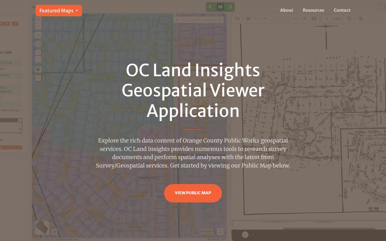
After the map supplies the APN, retain the screenshot date and move to the matching county record rather than guessing from house-number order.
Cypress Records Along a Street
Several Cypress record sets can be keyed to a Cypress street, but they answer different questions. The Cypress coverage table below separates a parcel map from a value roll, a recorded instrument, a city permit, and a historic reverse directory. That separation is the core of a reliable Cypress street directory.
| Record Set | Street or Address Key | Shows | Does Not Show |
|---|---|---|---|
| OC GIS parcel viewer | Address, map, APN interaction | Parcel geometry and nearby lots | Verified owner display was not established |
| Assessor secured value | Eight-digit APN | Value and exemption snapshot | Owner name or household members |
| RecorderWorks | Party, date, instrument, book and page | Recorded ownership events | Address search or document image online |
| Cypress permits and planning | Address, parcel, applicant, project | Work history and filing context | Complete household roster |
| Regional reverse directory | Street and house number when present | Historic occupant or telephone clue | Current confirmation |
| OC voter data | Controlled product or authenticated person | Authorized election data | Public street browsing |
The Cypress record with the best geographic fit should lead. A Cypress address question starts with GIS. A title question starts with the recorder. A project question starts with the city. A historical occupant question may start with a regional directory or census.
Cypress Recorder Records by Party
Cypress RecorderWorks uses grantor and grantee names, recording dates, and document identifiers rather than a Cypress street field. A Cypress grantor transfers or conveys an interest in the indexed instrument. A grantee receives an interest. The role, date, document type, and Cypress legal description matter more than a name match alone.
The Cypress index is free to search, but it is not an image viewer. For 1982 forward, use a recording year plus six-digit instrument number. Before 1982, a Cypress copy request relies on book, page, and instrument information when available. The official copy instructions say staff do not search by telephone, mail, in person, or at the counter.
Order a known Cypress instrument from Orange County Clerk-Recorder, 601 N. Ross Street, Santa Ana, CA 92701, with a self-addressed stamped envelope and County of Orange payment. The documented cost is $1 per page plus $1 to certify each document or map.
The RecorderWorks index capture illustrates the index layer in a Cypress street directory workflow.
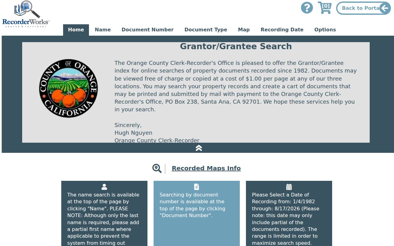
Use the index to identify the instrument, then use the copy to inspect the legal description and recorded parties.
Cypress Street Permits by Address
Cypress building and planning files can add a Cypress address-dated layer. A Cypress permit may identify an applicant, contractor, scope, parcel, and filing date. A Cypress planning or tract-map file may show a project name, legal description, public hearing, or owner-notice step. A permit proves that work or a filing was associated with a Cypress place. It does not prove who lived there before, during, or after the work.
Use the Cypress city’s Online Public Records Center when a known record is available. If not, make a focused Cypress CPRA request naming the address, parcel, project, record type, department, and date span. City technology materials described a manual in-person or email process during fiscal year 2025 to 2026 and proposed a new online request system, so check the live interface on the search date.
Planning notices can include certified property owners within 300 feet of a Cypress project, as they appear on the latest assessment roll. That owner-notice list is tied to one case and one roll date. It is not an unrestricted Cypress street directory.
The official Cypress record-copy instructions below show the separate path from a free index to a paid instrument copy.
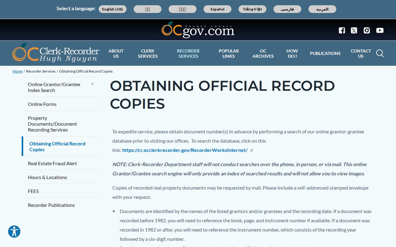
Match the copy request to an identified instrument instead of asking a city or recorder staff member to build a household history from scratch.
1926 and 1929 Cypress Street Clues
NARA’s circa-1930 city-directory table explicitly includes Cypress in Orange County regional coverage for 1926 and 1929. That matters because Cypress was not incorporated until 1956. A street directory search for an older Cypress address should use the regional Orange County heading, not assume that a municipal Cypress volume existed.
A Cypress reverse or criss-cross section, when a volume contains one, orders street, house number, and occupant or telephone information. An alphabetical section answers a name question. Capture the volume title, coverage statement, copyright year, and abbreviation key with the entry. A Cypress listing is evidence for the canvass year and can omit a household or reflect an editorial error.
The NARA directory table is the verified starting point. Cypress Library and the California State Library remain the routes for local shelf detail, telephone books, and later material not itemized in the branch page.
Dairy City Cypress Street Names
Cypress street research crosses a place-name break. The Cypress area was an unincorporated Orange County agricultural community, then Dairy City incorporated on July 24, 1956, and then the name changed to Cypress after the August 6, 1957 straw vote of 208 to 41. Search Cypress city minutes, ordinances, election notices, newspapers, and directory headings with both Dairy City and Cypress.
Earlier records may sit under Orange County or, before 1889, Los Angeles County and state or federal land systems. The rail-centered settlement around Lincoln Avenue and Walker Street, later tract names, and agricultural parcel descriptions can bridge a modern Cypress street to an older record. Do not retroactively relabel a Dairy City or county record as a Cypress city record.
This is a Cypress-specific reason to preserve the original locality wording beside every street result. A missing modern place name may reflect the era, not a missing address.
What Cypress Street Directories Omit
A Cypress street directory cannot show every person at a property. Cypress owner rolls are not household rosters. Other Cypress occupants and household members may not appear in the public property trail. Cypress OC Vote is a self-authenticated lookup, not a public block list. Cypress DMV information is protected, utility customer data was not verified as public, and Safe at Home addresses must remain shielded.
Even a Cypress owner’s mailing address is only a destination for notices. A Cypress deed party is tied to a recorded event. A Cypress permit applicant is tied to a filing. A Cypress historic reverse-directory entry is tied to an edition. Name collisions, stale records, omissions, and address changes require a second source before a claim is made.
Lawful use. Use Cypress street and address records for family history, property history, civic research, reconnecting, or personal safety awareness. Do not use them to stalk, threaten, harass, or intimidate anyone.
When the question shifts from a whole street to one person, use the separate Cypress resident lookup workflow and keep the street record as context rather than proof.